01
Follow activity at sea
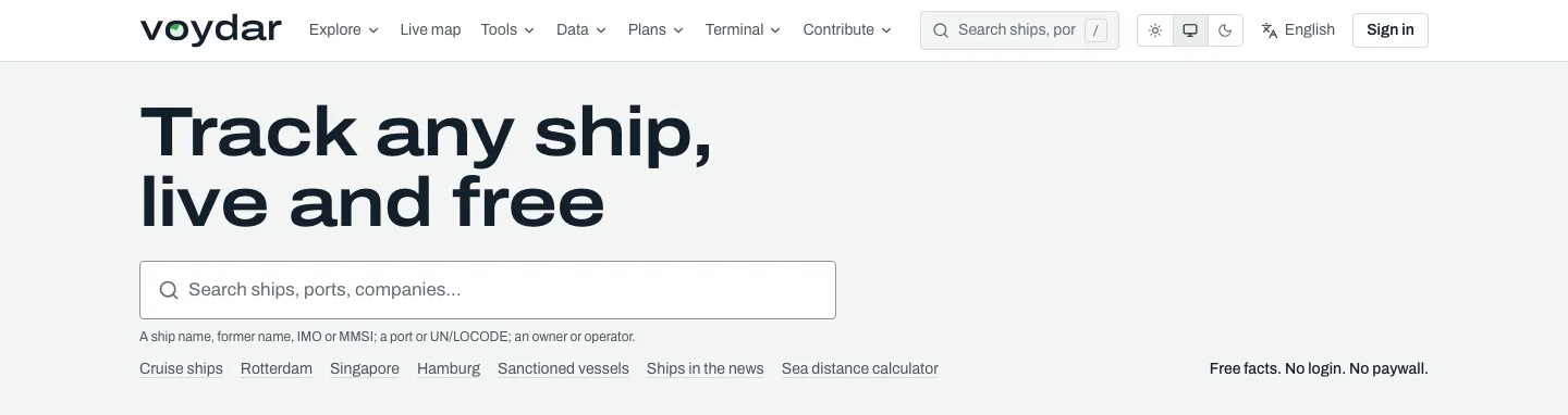
Watch ships move on a live map built from public AIS, and look up any vessel by name, IMO, or MMSI.
Maritime intelligence · Operating
Voydar shows live ship positions from public AIS on an open world map and gives every vessel a profile covering identity, voyage, ownership, port calls, and safety record. Free public tools sit alongside alerts, a professional Terminal, and data access through APIs, open datasets, and feeds.
Visit Voydar
The perspective
Maritime activity becomes more useful when positions, places, and company records can be explored together. Voydar keeps the core public facts free, without a login, and adds alerts, history, and a dedicated professional Terminal for deeper work. Voydar was previously called Seadar.
Maritime researchers, analysts, operators, and anyone following ships, ports, and the companies behind them.
01
Watch ships move on a live map built from public AIS, and look up any vessel by name, IMO, or MMSI.
02
Move beyond a position on a map to the vessels, ports, owners, operators, and sanctions records behind the activity.
03
Use the professional Terminal, the API, open datasets, feeds, and spreadsheet tools for structured maritime research.
Continue exploring
Visit the platform for its current offering, resources, and product information.
Visit website